Coming Soon
Sensors For Space
Sensor development for space missions.
Products in development coming soon.


WISE Breadboard Model (BBM)
The Canadian Space Agency (CSA) undertook a pre-Phase A concept study for WaterSat (a Dyson-based near-UV-visible-near-IR hyperspectral microsatellite mission) for monitoring coastal oceans, estuaries and inland water bodies.
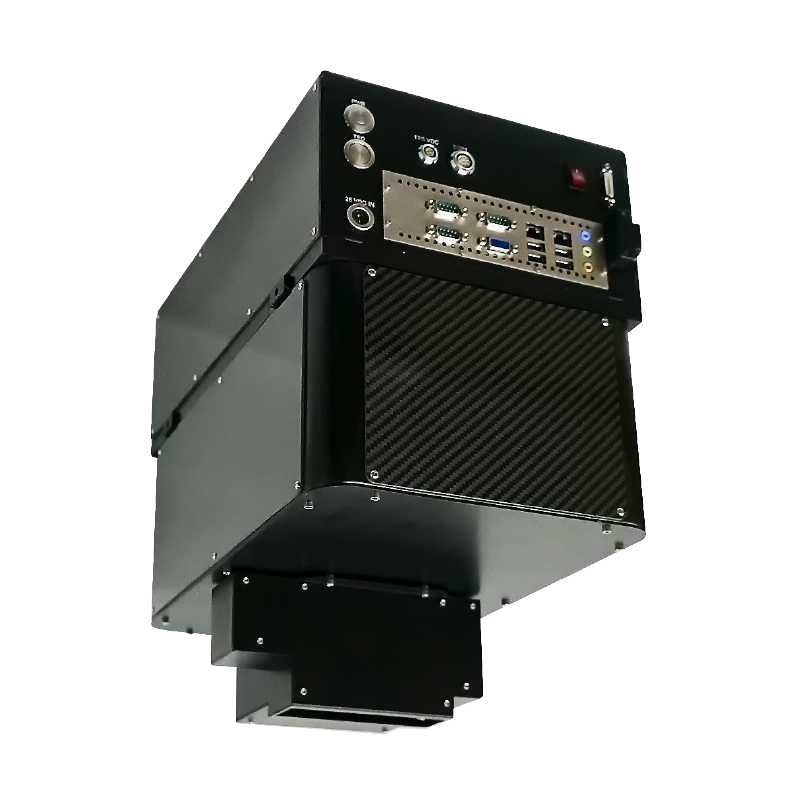
To help advance the WaterSat mission study and elevate its technology readiness level (TRL), CSA awarded a contract to ITRES to design and build an airborne WaterSat Imaging Spectrometer Experiment (WISE).
Common Features
All ITRES scientific grade high performance imagers feature our custom diffraction-limited optics. This ensures that the full imaging swath is achieved as specified. Focus is sharp and excellent spectral registration is achieved across all wavelengths.
ITRES uses custom arrays with some of its imagers. A benefit of doing so is deeper full-well capacity for each array pixel, or the more photons that can be measured during a single readout event.
The deeper the full well capacity, the greater the range of signal levels that can be measured by the array, and the higher the measured signal level can be without saturating the sensor. Wider dynamic range provides better contrast and detail definition in the imagery, making it easier to differentiate objects spectrally from their backgrounds. This is an important criteria especially for rapid response imaging where detection and identification capabilities are technically paramount.
Lidar systems or their data can be integrated with all ITRES in three ways: 1. Simultaneous Lidar and hyperspectral data collection; 2. Lidar DSM input to our In-flight Processing System (IPS) or Geocorrection Software (GCSS) pre-processing software; or 3. During analysis for data visualization and modeling.
Since 1996 all ITRES imagers have been integrated with GNSS inertial navigation systems such as the POS AV from Applanix or SPAN from Novatel.
Our robust data pre-processing software carries out precision time synchronization between the imager frame data and the simultaneously-acquired attitude and position data from the GNSS system. This ensures high pixel positional accuracy in our geocorrected imagery.


