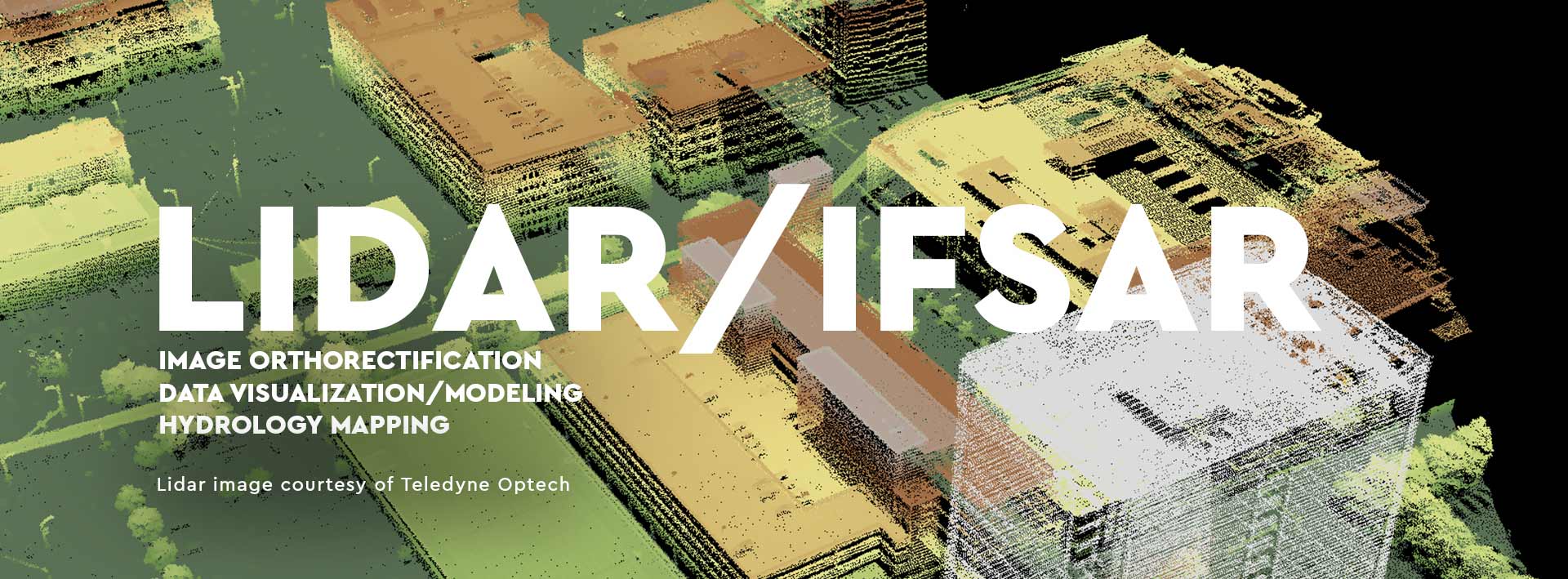

Airborne hyperspectral or thermal imagery is a perfect complement to Lidar data. While Lidar provides a digital representation of the physical characteristics of the imaged surface and is invaluable for 3D modeling and object heights, airborne hyperspectral or thermal imagery provides important spectral discriminatory capability. Through digital “drapes” of hyperspectral or thermal imagery over the Lidar’s 3D surface, the data visualization and modeling capability realized through their fusion is more powerful than what is possible alone. Aside from considerable downstream benefits to conducting data analysis, another benefit accrued to hyperspectral through Lidar fusion is orthocorrection. ITRES was an early adopter of Lidar data. The benefit of removing terrain-related image distortions through incorporation of high-resolution Lidar data during geocorrection processing often provides better results than using other DEM sources.
All ITRES sensors are Lidar-compatible.


