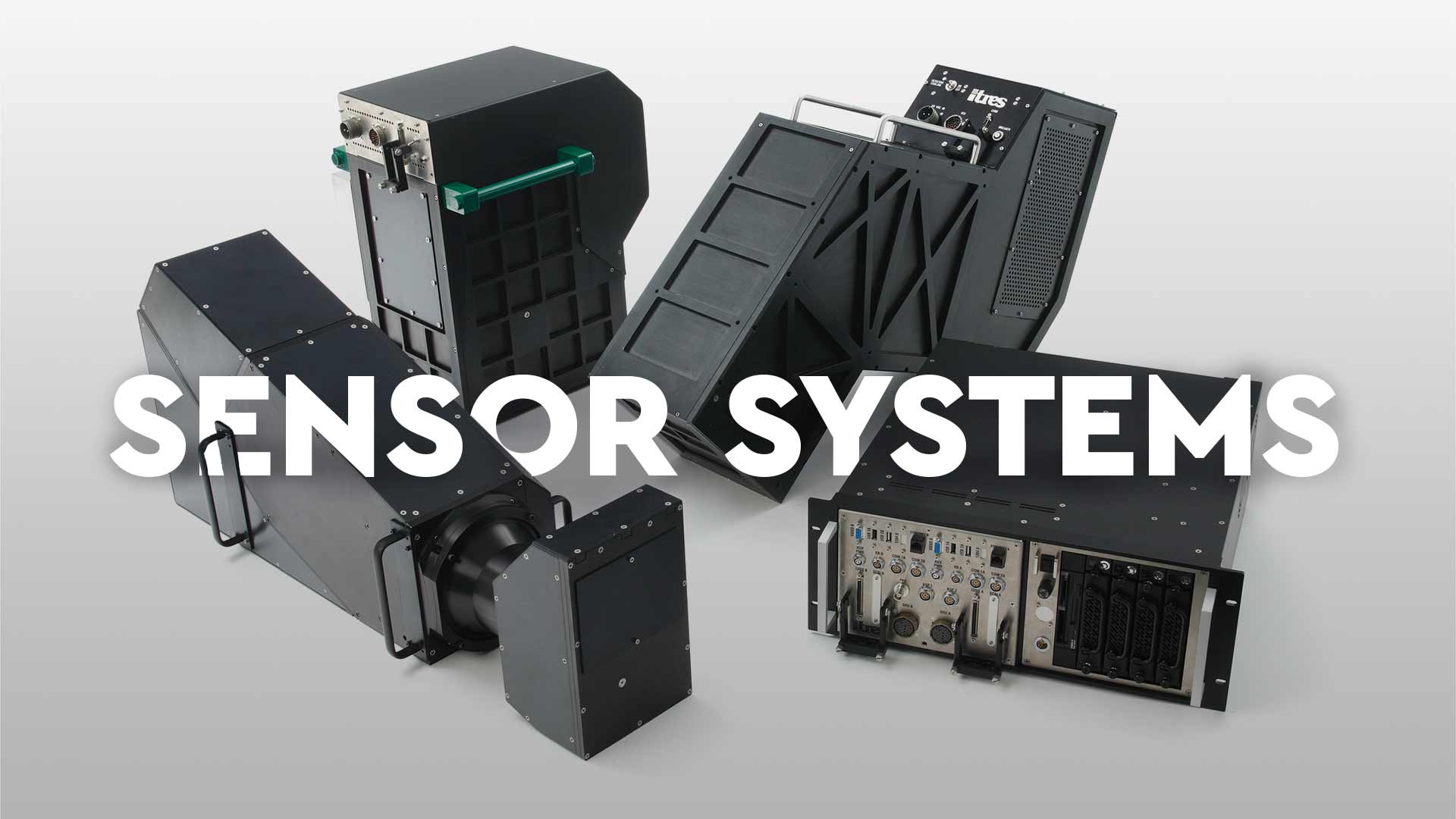
Sensor Line 1
High Fidelity
Hyperspectral
Sensor System
Maximum performance, scientific grade imaging systems for those requiring industry-leading hyperspectral and thermal mapping imagers with the specifications to match.

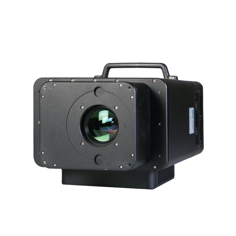

CASI – 1500H
Hyperspectral all-in-one VNIR imager that others try to emulate. Up to 288 bands of crisp visible-near infrared goodness for a wide variety of environmental, forestry, agricultural, optical water quality and wetlands applications.

TABI – 1800
Unique to ITRES: Pushframe, wide swath, broadband thermal imager. Sensitive to thermal differences as small as 0.05°C, the TABI can be flown slow or fast, the mapper’s very high spatial resolution is unaffected. Fast data turnaround. Firemapping.
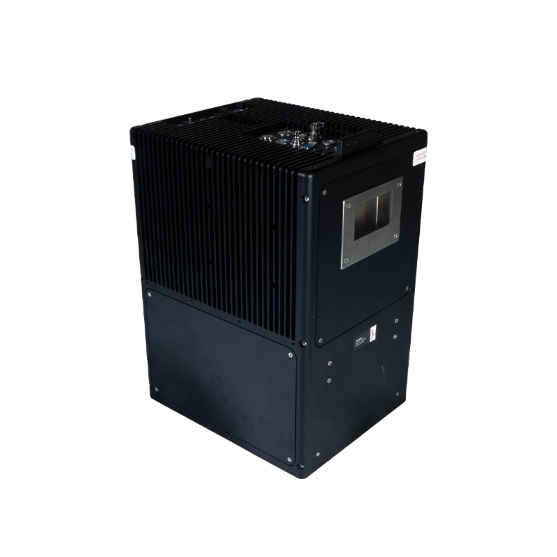
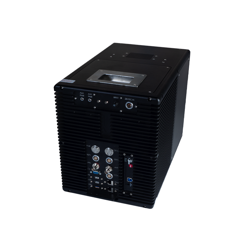

TSR – 1800
Unique to ITRES: For day/night ocean or arctic Search and Rescue. Real-time, no post-processing required. Wide swath thermal Search and Rescue imager with automated thermal anomaly detection (0.05°C detectable difference) and geotagging with logging. Simplified installation. The TSR-1800 provides spatial resolutions as small as 6cm, with self-adjusting internal search parameters that adjust every minute based on changing aircraft speeds (slow or fast, up to 200+ kts) to optimize detection. Spotters focus on spotting, the TSR-1800 sees all and shows it on a moving map display.
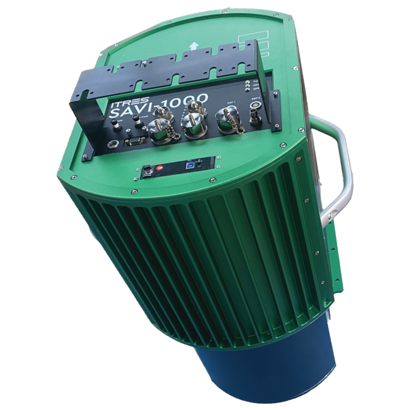
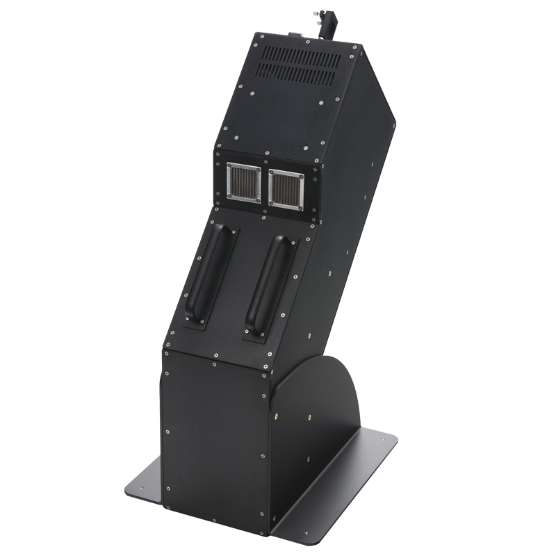

MASI – 600
Proven hyperspectral MWIR coverage with high SNR and electronic noise suppression and custom optics. The MASI excels in biochemical gas detection, pipeline leaks, mineral composition, invasive species among other applications.

TASI – 600
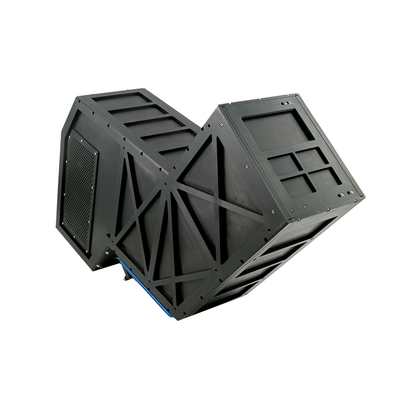
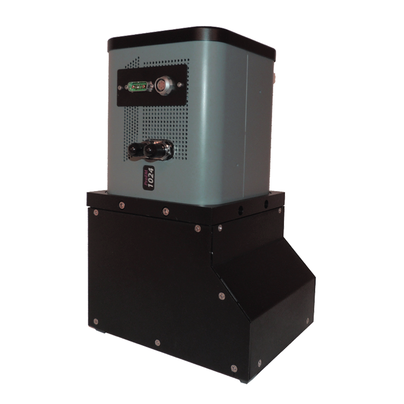
Long proven hyperspectral LWIR thermal mapper that can provide apparent emissivity and absolute temperature measurements via 32 spectral bands between 8 and 11.5 microns.

UVC – 1800
Unique to ITRES: Broadband Ultraviolet mapping for ozone monitoring, crop health, and the detection of organics with fluorescent properties.
Common Features
All ITRES scientific grade high performance imagers feature our custom diffraction-limited optics. This ensures that the full imaging swath is achieved as specified. Focus is sharp and excellent spectral registration is achieved across all wavelengths.
ITRES uses custom arrays with some of its imagers. A benefit of doing so is deeper full-well capacity for each array pixel, or the more photons that can be measured during a single readout event.
The deeper the full well capacity, the greater the range of signal levels that can be measured by the array, and the higher the measured signal level can be without saturating the sensor. Wider dynamic range provides better contrast and detail definition in the imagery, making it easier to differentiate objects spectrally from their backgrounds. This is an important criteria especially for rapid response imaging where detection and identification capabilities are technically paramount.
Lidar systems or their data can be integrated with all ITRES in three ways: 1. Simultaneous Lidar and hyperspectral data collection; 2. Lidar DSM input to our In-flight Processing System (IPS) or Geocorrection Software (GCSS) pre-processing software; or 3. During analysis for data visualization and modeling.
Since 1996 all ITRES imagers have been integrated with GNSS inertial navigation systems such as the POS AV from Applanix or SPAN from Novatel.
Our robust data pre-processing software carries out precision time synchronization between the imager frame data and the simultaneously-acquired attitude and position data from the GNSS system. This ensures high pixel positional accuracy in our geocorrected imagery.


